
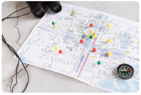
In an increasingly complex world, the need for accurate and efficient navigation has never been more critical. From autonomous vehicles to urban planning, the ability to understand and interact with our physical environment in real time is a game-changer.
This is where gamma real time mapping comes in, a revolutionary technology that is transforming the way we perceive and navigate the world around us.
By using advanced sensors and data processing, this system creates highly detailed and dynamic maps that are constantly updated, offering a level of precision and insight previously unimaginable.
Enhanced Accuracy and Detail
Traditional mapping systems, while useful, often rely on static data that can quickly become outdated. This can lead to inaccuracies, especially in rapidly changing environments. Gamma Real Time Mapping, however, provides a continuous stream of up-to-the-second information.
Its high-resolution sensors capture intricate details, from the precise location of road signs to the subtle elevation changes of a terrain.
This level of detail is crucial for applications that demand absolute precision, such as in the fields of robotics and logistics. The system’s ability to differentiate between various objects and surfaces ensures that the map is a true reflection of the real world, not just a simplified representation.
Dynamic Adaptability
One of the most significant advantages of gamma real time mapping is its dynamic adaptability. Unlike static maps that require manual updates, this system automatically adjusts to changes in the environment.
If a road is closed due to construction or a new building is erected, the map reflects these changes instantly. This real-time adaptability is vital for emergency services, which need to find the quickest and safest routes during critical situations.
It also benefits everyday commuters by helping them avoid traffic congestion and navigate around unexpected obstacles. The seamless integration of new data ensures that the user always has the most current information at their fingertips.
Revolutionizing Autonomous Systems
Autonomous vehicles and drones are at the forefront of this technological revolution, and they are heavily reliant on precise mapping. Gamma real time mapping provides these systems with the data they need to operate safely and efficiently.
The mapping system’s ability to identify and track moving objects, such as other vehicles and pedestrians, is fundamental for collision avoidance and smooth navigation. Without a highly accurate and dynamic map, the widespread adoption of autonomous technology would be impossible.
The detailed environmental awareness provided by this system allows self-driving cars to make informed decisions in complex traffic scenarios, paving the way for a safer and more efficient transportation future.
Improving Urban Planning
Urban planners and developers can also leverage the power of gamma real time mapping. The detailed, real-time data on traffic flow, pedestrian movement, and infrastructure usage can be used to design more efficient cities.
Planners can identify bottlenecks, optimize public transportation routes, and strategically place new amenities based on real-world usage patterns.
This data-driven approach leads to more sustainable and livable urban environments. By visualizing the city as a living, breathing entity, planners can make better decisions that benefit the entire community.